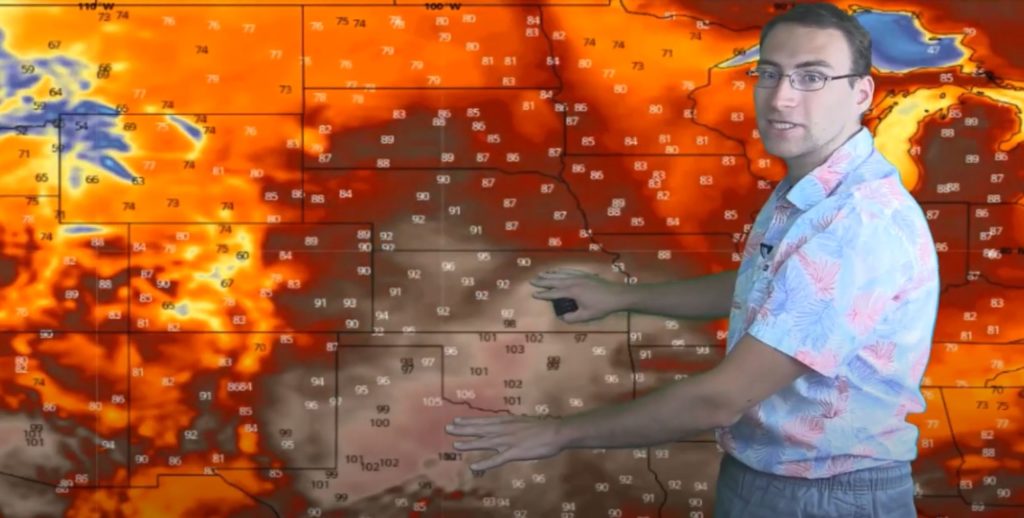
Among other things, July 2020 is bringing on the heat. Most of the country will above average temperatures with the only exception being the Pacific Northwest. Check out Brian Ivey’s forecast (and his new Hawaiian shirt) in this week’s weather video!
It’s a great week for most of the nation to head to the beach. The central and southern plains will have widespread triple-digit heat. The rest of the country will see widespread temps in the 80’s and 90’s. This heat wave is expected to stay consistent every day though the middle of next week.
This weather is a result of the high-pressure ridge that is pushing warm air up from the Gulf and keeping things hot and dry.

The air will stay dry over the Great Lakes and most of the country. There will just be small pockets of scattered rain that are very spotty. The only organized system of precipitation is expected to brew up on Wednesday smack in the middle of the country, but it fizzles out before it spreads too far East.
The only possibility of real rain activity might be from a ridge runner coming down from Canada and colliding with the high pressure system heading north. If that cool, low pressure air smacks into the high pressure air in the south, we might see some action. Otherwise we expect to see a pretty dry, mellow week in weather.

The only areas with precipitation potential this week are along the Canadian border (where the low pressure collides with the high pressure) and perhaps parts of Florida. The rest of the country will be mostly dry through July 10th.
Looking for customized forecasts to help you run your weather-dependent business? Contact Neoweather for details!
