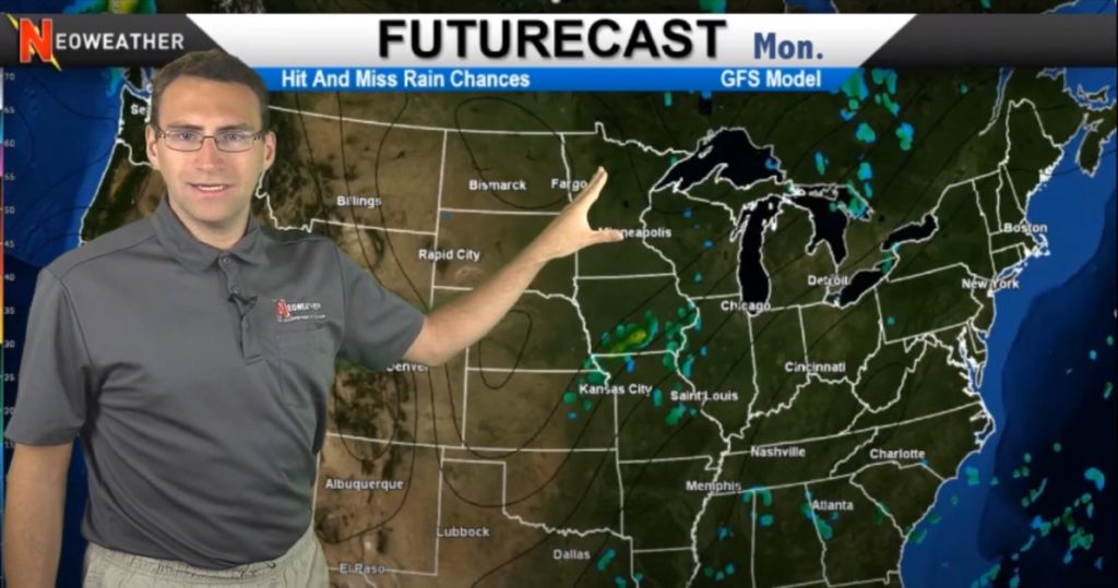
Now that Hurricane Isaias has left a decent mess for Eastern states to clean up (see lots of video footage below), it’s time to look ahead to see what’s next! The weather starts off with a bit of a split personality this week as it is cooler and wet on the eastern half of the U.S. and the West remains hot and dry. Then the cool weather moves out and we’re more balanced with warmer temps just about everywhere.
The action started off this week with some follow up super soakers in the East on the tail of the Hurricane. As those move-out, a little system kicks up in the Kansas City area with almost the only red we see on the map this week. There will be a spot of severe weather on the front range that weakens quickly before getting too far. The typical afternoon thunderstorms will cover most of Florida this week too.
Over the weekend and into next week more typical rainfall pops up around the country. We expect to see showers around the Great Lakes and Midwest Region. Nothing severe is expected and it will be pretty scattered, but rain is coming. The deep South should be getting hit and miss precipitation as well. No major storms are in the forecast.

Out West there is almost no precipitation expected, which isn’t uncommon for this time of the year. Things are expected to remain hot and dry as usual. Kind of nice for SOMETHING to go as expected in 2020, right?
How about some help with deciding when to dispatch your weather-dependent crews to a job site? Neoweather can help! Contact them for accurate, customized forecasting services just for your service area!
