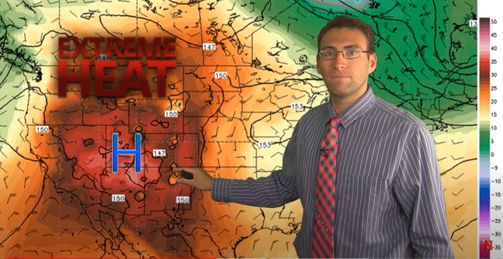
This week kicks off with lots of precipitation in the Southeast and hotter than usual weather in the West. The barriers on the western heat dome break open over the days to come and higher than average temps spread to the Midwest. See all the details from Brian Ivey below.
The middle of the country starts off dry this week, with just a little bit of precipitation in the Northern Rockies. All the action seems to be in the Southeast where there are several systems of rain, especially on the East Coast where there may be a tropical system. It’s too soon to tell what will happen with that aside from lots of rain potential this weekend.
Out West things remain smokin’ hot with documented temps up to 130 degrees fahrenheit in Death Valley! The high pressure system out there is creating a major heat dome this week. That system will break down a bit in the days to come allowing the warm weather to spread eastward.

First Look at Winter 2020-2021 from Farmer’s Almanac
Brian shared a winter preview based on the Farmer’s Almanac this week. This is not based on any of today’s models or Neoweather forecasts, just a snapshot of what the good ‘ol Farmer’s Almanac has to say about Winter 2020-2021.

The Farmer’s Almanac is suggesting that it won’t be a super snowy or cold winter. The standout items are a “more wet than white” prediction around the Great Lakes and “sheets of sleet” around the northern East Coast. The heavier snow is predicted for New England this year. Take this for what it’s worth to you. Future winter forecasts based on scientific models will be presented this fall from Neoweather.
If you are looking for accurate weather forecasts in your service area specifically, check out Neoweather for help. They provide customized forecasts with the details you need to make good decisions for your weather-dependent business.
