11/11/2020 Contractors Winter Forecast
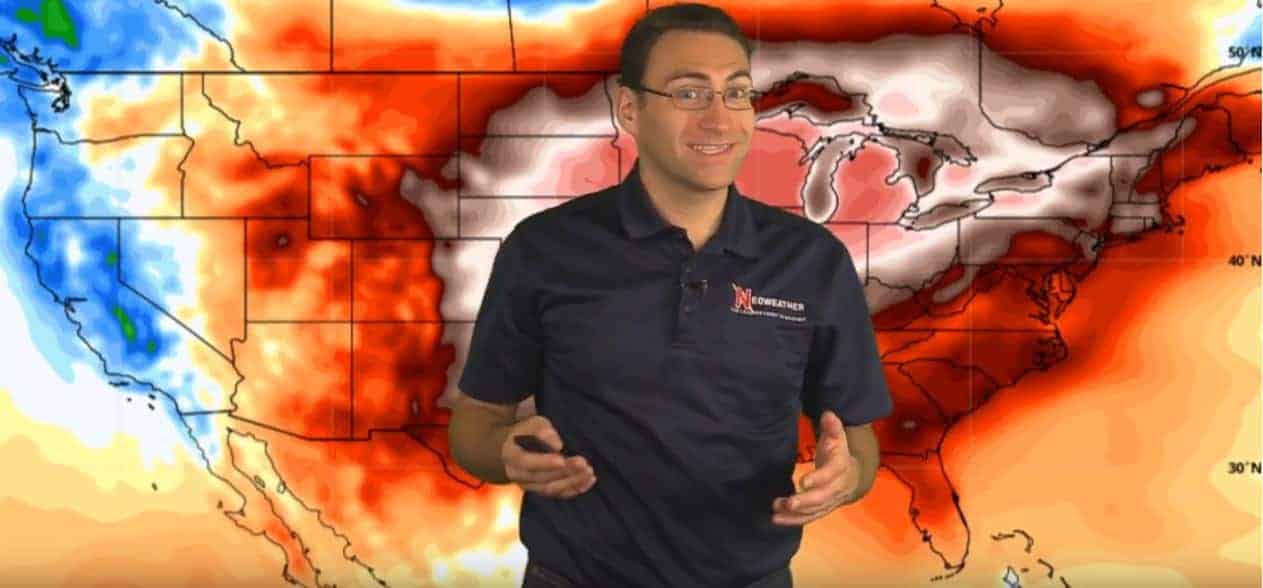
This week started with the lucky streak of much warmer than average temperatures across most of the country coming to an end. Many areas experienced temperatures 20-30 degrees above average, and there were a gazillion Facebook pictures of people enjoying the outdoors to prove it! What’s up next? Keep reading to find out what Brian Ivey from Neoweather is expecting this week.
Heavy Rain Out East
There’s a big wet system blanketing the East Coast area from The Florida Keys all the way up to Boston. This is from the latest storm in the gulf and lots of moisture coming up from that, while a high-pressure system in the Atlantic is creating a blocker to keep that moisture on land.
Snow is Coming!

Thursday, Nov. 12, 2020
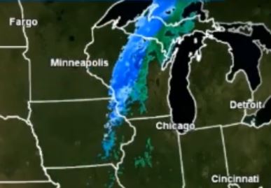
Early Thursday morning a snowy system pops up in South Dakota that builds quickly and creates a mixed front of snow and rain that travels across Minnesota, Wisconsin, and the Upper Pennisula of Michigan before it dissipates. That system won’t be very significant compared to what just went through those areas.
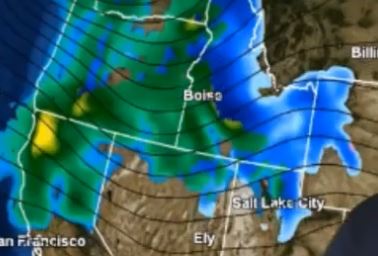
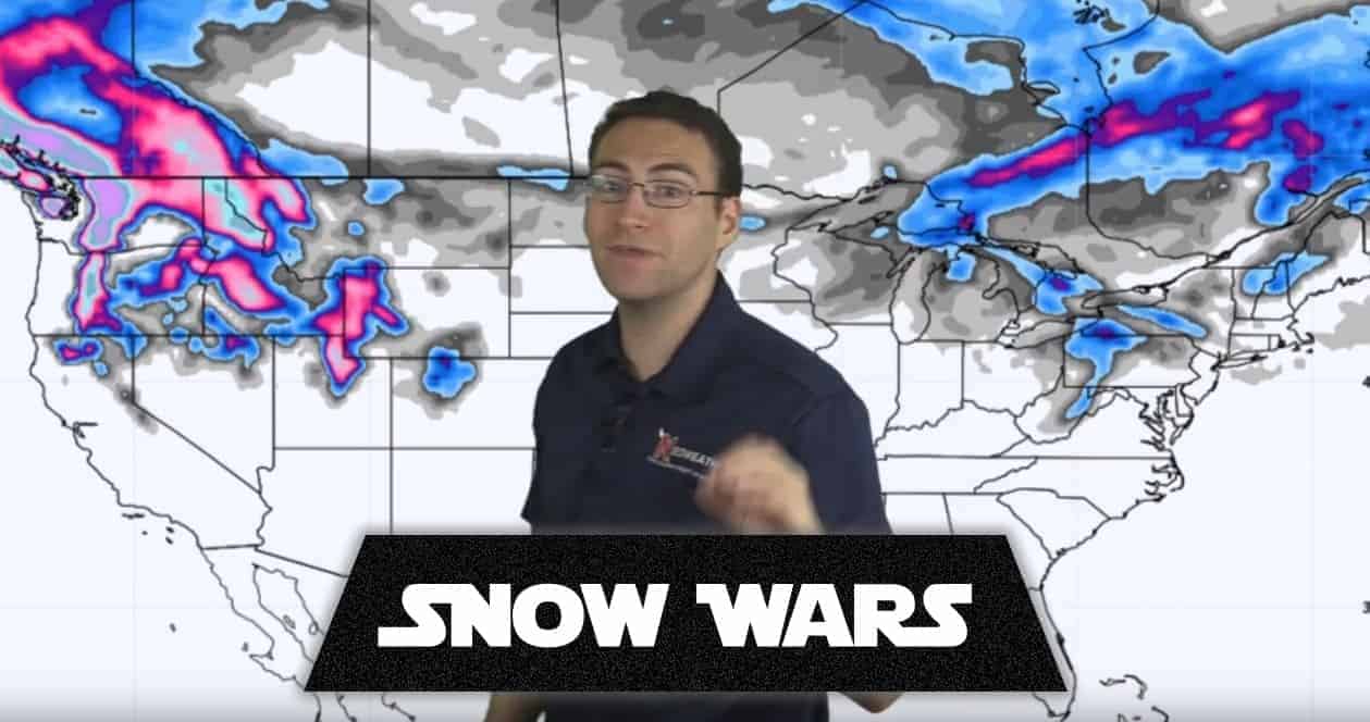
This weekend eyes are on the Pacific Northwest as a snowy system kicks up Friday and goes through most of the weekend. Most of the snow will be in the Upper Rockies affecting Idaho, Northern Utah, and the Intermountain West. There will be a decent amount of snow in spots from this system.
Monday is when the Lake Effect snow machine kicks in as cold air moves down from Canada into the Great Lakes Region. It’s too early to know if this will be significant snow or not, but there is certainly that potential.

Saturday, Nov. 14, 2020

11/11/2020 Weather Forecast Video
Check out this week’s winter weather video from Neoweather below to get all the details on this week’s forecast. If you would like a free quote on getting accurate and detailed forecasts for YOUR service area, contact Neoweather today!
